Drones in Tuscany
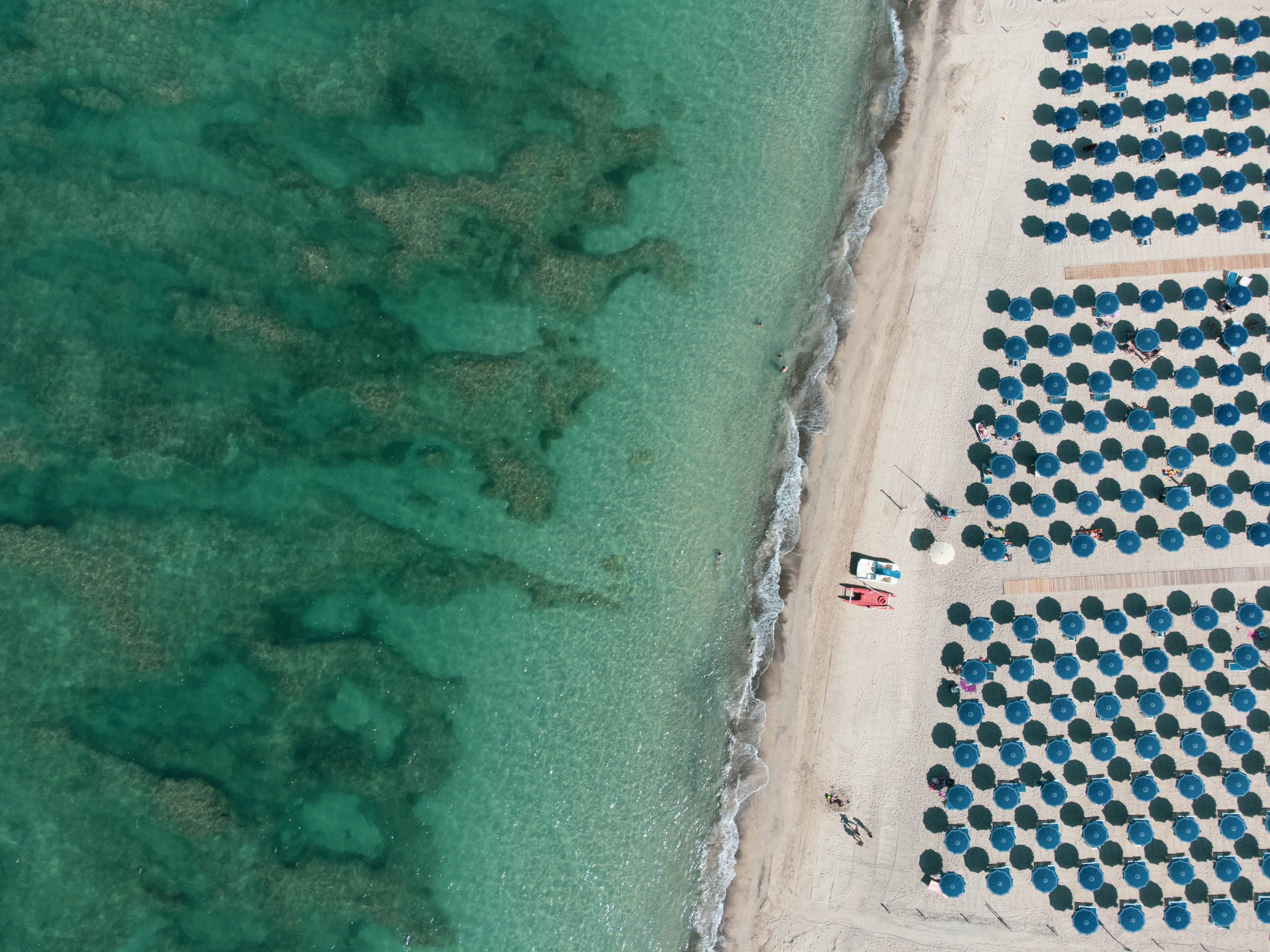
Drones in Tuscany: The Abstract Geometry of the Elevated Eye
Drone photography in Tuscany begins with a different question from ground-level photography. Not where to stand, or when the light will arrive, but what the landscape looks like when the third dimension is removed. The first time I flew a drone over Val d’Orcia, I understood something about the landscape I had never grasped from the ground. The cypress roads — which from eye level read as romantic and vertical — became from eighty meters above something entirely different: graphic lines dividing planes of earth, precise as a drawing, indifferent to beauty in the conventional sense.
That was the beginning of a different practice.
Drone photography in Tuscany is not, for me, about getting a wider view. It is about collapsing the third dimension — removing depth, distance, the human scale of things — and revealing the geometry that was always present in the landscape but invisible from the ground. The ploughed field becomes a texture. The vineyard becomes a rhythm. The thermal springs at Saturnia become a topographical painting.
I have been flying over the Tuscan countryside for several years, primarily in Val d’Orcia, the Crete Senesi, the Chianti hills and the Etruscan Coast. This is not a technical guide. It is a visual essay on what the elevated eye sees — and a practical reference for the ENAC regulations that govern where and how you can fly in Italy in 2026.
The Rhythm of Rows and Textures: What Drone Photography Reveals
From the ground, the Tuscan landscape is a composition of depth, atmosphere and scale. From eighty meters above, all of that disappears. What remains is pattern.
The Chianti vineyards, photographed from directly above in October, become something close to a graphic score — parallel lines of dark vines against the warm ochre of the soil between them, repeating to the frame edge without resolution. There is no horizon. No sky. Only the rhythm of cultivation, which has not changed in its essential geometry for centuries. The full guide to photographing Chianti covers the ground-level version of the same landscape.
The Crete Senesi clay hills read differently. The erosion of the soil — the biancane, the rounded clay formations that make this landscape unlike anywhere else in Europe — from above becomes a topographic abstraction. Soft forms, no hard edges, shadow pooling in the dips between mounds. The entire landscape appears to breathe.
Val d’Orcia at dawn, from a hundred meters, reveals the structure beneath the romance. The isolated farmhouses — Belvedere, Podere Terrapille — are no longer picturesque. They are spatial anchors in a field of layered planes. The cypress roads are not vertical elements; they are linear interruptions in a horizontal geometry.
This is what drone photography offers that nothing else does: the dissolution of the pastoral and the emergence of the abstract. Whether that interests you as a photographer determines everything about how you approach this tool.
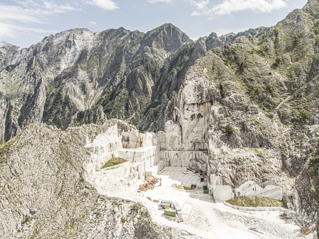
The Projected Shadow: Dawn Light and Cypress Geometry from Above
There is a specific phenomenon that exists only in drone photography in Tuscany and only in the first twenty minutes after sunrise: the shadow of a cypress tree, cast horizontally across ploughed earth at a low angle, photographed from directly above.
The cypress itself — vertical, narrow, constant — becomes almost invisible from above. What you see instead is its shadow: a long, precise, dark line extending across the surface of the field at whatever angle the early sun permits. In October, at 6:15 AM, that shadow can extend thirty or forty meters from the tree’s base. Multiple cypresses produce multiple shadows, parallel or converging, creating a graphic structure that has nothing to do with landscape photography in any conventional sense.
This is the hour to fly. Not for the warm light on the hills, which looks better from the ground anyway. For the shadows.
The same principle applies to the Crete Senesi biancane. At low sun angles, the soft clay formations cast dramatic shadows into their own concavities — shadows that define the topography in a way that flat overhead light never could. At midday the landscape from above is flat and uninformative. At 6 AM in October it is a chiaroscuro study of pure form.
Practical note: fly low and slow in these conditions. Between 40 and 80 meters is often more interesting than the maximum 120 meters — the relationship between shadow length and ground texture is more legible at lower altitude, and the compression of the image is stronger.
ENAC Drone Regulations in Tuscany: What You Need to Know in 2026
Italy follows EU drone regulations (EU 2019/947) implemented through ENAC. The framework is logical once understood, but it must be understood before you fly — the consequences of an unauthorized flight in a restricted zone are significant.
| Drone weight | Category | Certificate required | Key restrictions |
|---|---|---|---|
| Under 250g DJI Mini 3, Mini 4 Pro |
Open A1 | None — register operator on D-FLIGHT | Max 120m. Cannot fly over crowds. Most rural areas permitted. |
| 250g – 900g | Open A1/A3 | A1/A3 certificate (free online exam, D-FLIGHT) | 150m from residential areas in A3 category. Register drone and operator. |
| Over 900g | Open A2 | A2 certificate (practical + theoretical) | 30m safety distance from people in low-speed mode. Stricter zone restrictions. |
| All drones | Universal | — | No night flying. No airports. Direct visual contact required. Max 120m AGL. |
Val d’Orcia is a UNESCO World Heritage Site. Some areas have specific restrictions that do not appear in standard zone maps. Always verify with exact GPS coordinates on D-FLIGHT — not with approximate area names. The open agricultural areas between San Quirico d’Orcia and Pienza are generally permissible; avoid flying directly over or within villages.
Best Locations for Drone Photography in Tuscany
These are not viewpoints. They are visual conditions — each one requiring a different understanding of what the elevated eye can reveal that the ground-level eye cannot.
- Val d’Orcia — Geometry and the Isolated Farmhouse The most photographed drone landscape in Tuscany, and still the most rewarding. The geometry of cypress roads, ploughed field textures and isolated farmhouses at Belvedere and Terrapille reads as pure abstraction from above. Best in October and November at dawn — raking light, long shadows, empty roads. Always check D-FLIGHT for the specific GPS location before flying. See also: Photograph Val d’Orcia from the ground.
- Crete Senesi — Biancane and the Topography of Erosion The clay formations south of Siena are, from above, unlike anything else in Italy. The soft rounded forms of the biancane, the eroded gullies, the isolated Baccoleno farmhouse surrounded by bare clay hills — these are subjects that only exist fully as aerial images. Dawn light in late autumn is essential: the shadows define the forms.
- Saturnia Thermal Springs — The Turquoise Cascade from Above The Cascate del Mulino photographed from directly above — the turquoise cascading pools, the travertine terracing, the steam rising in cold morning air — is one of the most extraordinary aerial subjects in Tuscany. Arrive before 7 AM. Verify D-FLIGHT coordinates before the flight.
- Chianti Vineyards — The October Harvest Pattern The vine rows of Chianti, photographed from above in October when the leaves have turned gold and red, produce a graphic rhythm of colour and line impossible to reproduce from the ground. Best in full overcast light. See the ground-level approach in the Chianti photography guide.
- Etruscan Coast — Sea Cliffs and the Gulf of Baratti The circular bay of Baratti and the ancient promontory of Populonia are extraordinary from above — the archaeology of the Etruscan necropolis visible as depressions in the coastal landscape, the bay’s geometry clean and closed. Check coastal airspace restrictions on D-FLIGHT carefully before flying near ports or populated areas.
The Ethics of Silence: Responsibility and the Aerial Eye
There is a version of drone photography in Tuscany that I find genuinely damaging — not legally, but perceptually. The drone launched from a tourist layby, flying directly over the Belvedere farmhouse at maximum altitude, producing the same image that five thousand other people have produced from the same GPS coordinate and published on the same platforms.
The sound of a drone over a silent Tuscan valley at 5:30 AM — before the birds, before the first light — is a specific kind of violence. It does not have to be.
The discipline I try to apply is the same discipline I apply to ground-level photography: arrive early enough that no one else is present. Know the regulation zone before arriving, not at the launch point. Fly once, precisely, for the image you have already visualised. Land. The entire flight — takeoff to landing — should take less than ten minutes if you have done the visual preparation in advance.
This is not a moral instruction. It is a practical one. The images that come from a focused, prepared flight are always better than those that come from exploratory hovering. And the landscape — the silence of it, the particular quality of rural Tuscany before the day begins — is better preserved for the next person.
Fly with care. Not because the regulation requires it. Because the place deserves it.
Aerial and Ground-Level Photography of Tuscany — Combined in One Experience
Drone photography guidance in permitted rural areas is included in the extended Tuscany experiences. All flight zones are verified on D-FLIGHT before each session. Ground-level and aerial photography of the same landscape — Val d’Orcia, Crete Senesi, Chianti — produce a body of work that neither approach achieves alone.
Discover the Photography Workshop in Tuscany →Frequently Asked Questions — Drone Photography in Tuscany
Can I fly a drone in Tuscany?
Yes, in most rural areas of Tuscany drone flight is permitted under ENAC regulations. Drones under 250g can be flown without a license in many open areas. Always check D-FLIGHT (d-flight.it) before each flight for real-time zone restrictions — areas near UNESCO sites, protected nature reserves and airports have specific restrictions that vary by GPS coordinate.
Do I need a license to fly a drone in Italy in 2026?
Drones under 250g in Open Category A1 can be flown without a license in many conditions. Drones between 250g and 900g require the free A1/A3 certificate via D-FLIGHT. Drones over 900g require the A2 certificate (practical and theoretical). All operators must register on D-FLIGHT regardless of drone weight.
Can I fly a drone over Val d’Orcia?
The open agricultural areas of Val d’Orcia — away from villages and populated areas — are generally permissible for drone flight. As a UNESCO World Heritage Site, specific sections may have additional restrictions. Always check D-FLIGHT with exact GPS coordinates before flying, not with approximate area names.
What are the best locations for drone photography in Tuscany?
Val d’Orcia for cypress road geometry and isolated farmhouses, the Crete Senesi clay hills for abstract topographic compositions, Saturnia thermal springs from directly above, Chianti vineyards in October harvest, and the Gulf of Baratti on the Etruscan Coast. All require D-FLIGHT verification before flying at each specific GPS location.
Is drone photography included in the Tuscany photography workshop?
Yes. Drone photography guidance in permitted rural areas is included in the extended Tuscany experiences. All flight zones are pre-checked on D-FLIGHT before each session. The Photography Workshop in Tuscany combines ground-level and aerial photography of the same landscapes for a complete visual body of work.
What is the best time of day for drone photography in Tuscany?
Dawn — the first twenty minutes after sunrise — is the most productive window. Raking light creates long shadows that define the geometry of the landscape from above. October and November offer the best combination of light angle, landscape colour and absence of haze. Avoid midday: the overhead light flattens texture and eliminates the shadows that make aerial Tuscan landscape photography interesting.


5 Comments